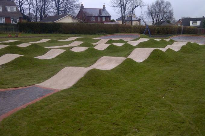
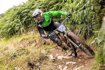
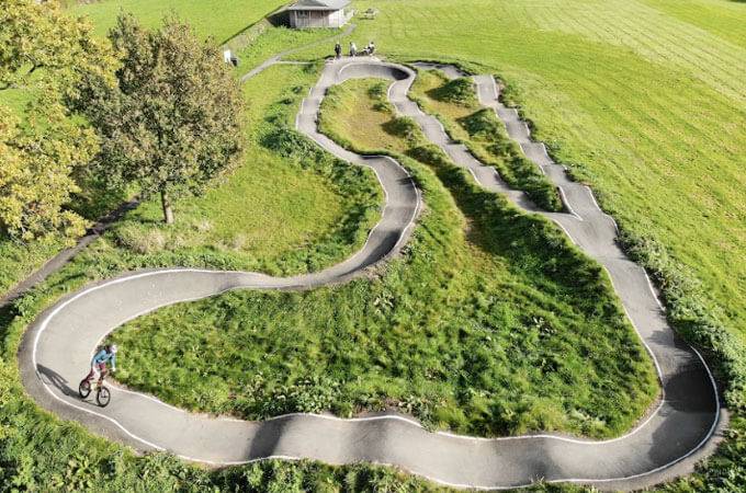
place Llandegla, LL11 3AA
Coed Llandegla in North Wales has routes suitable for cyclists of all levels of fitness and skill abilities with nearly 40 miles of mountain bike trails!
The forest trails consist of a Green trail thats almost 3 miles, a Blue trail thats 7.5 miles in length, a Red trail thats suitable for mountain bikers with a high level of skill that is 11 miles in length. Finally there's a black trail thats 13 miles in length and are only suitable for proficient riders!
This 5km family-friendly cycling route avoids difficult climbs and technical sections, offering a safe off-road experience. The path features mostly hard-packed surfaces with occasional loose, uneven, or muddy areas. Riders enjoy a gentle ascent from the parking area through forest to a reservoir with Clwydian Range views. After circling the reservoir, the trail winds back through woodland before a final descent to the Visitor Center, where refreshments await.
This 12km trail is perfect for fitness-oriented beginners. The route features a gradual forest climb followed by rewarding downhill sections that capture the essence of mountain biking.
The return path to the Center consists primarily of gentle descents with occasional uphill segments to maintain engagement. Small humps and features add challenge, while trail conditions may vary with weather.
Advanced mountain bikers should try this challenging trail. It begins with a gradual forest ascent (shared with the blue route), then diverges into technical terrain featuring unsurfaced singletrack and steep flowing sections through remote forest areas. The trail includes bermed switchbacks, whoops, water crossings, tabletops, and boardwalk. With significant elevation changes and longer distance, this route requires high fitness, stamina, and experience.
There are a series of black runs (6km) which are accessible only from the Intermediate Route. Together, the red and black routes comprise of 21km of trail. The black runs are predominantly steeper downhill stretches and they have much more challenging technical features.
The four technical black-graded off-piste tracks launched in April 2023 feature narrow hand-cut singletrack trails with exposed roots, bedrock, and rock features. Riders will encounter tight steep corners, natural slippery surfaces, steep chutes, and large drops (including the wallride finale). These tracks offer a natural feel for experienced riders.
December 2025 Update: The Skills Area, Pump Track and Freeride Zone at Coed Llandegla are closed due to forestry harvesting. These closures are part of a planned rebuild, as the center pursues its vision of creating a new, enhanced Skills Zone made possible by the recent harvesting activities.
The trail map is available to download here.
Coed Llandegla Forest is located on the A525, 7 miles west of Wrexham. From Chester take the A483 south from Chester towards Wrexham then take the A525 west, signed Ruthin. From the Ruthin area take the A525 east towards Wrexham. Coed Llandegla Forest is signed from the road.
Sat Nav users use this postcode: LL11 3AA
Toilets
Bike Hire
Bike Wash
Cafe
Shop
Visitor Centre
E-Bikes Allowed| Nearest Town: | Llandegla |
| Website: | oneplanetadventure.com |
| Sat Nav: | LL11 3AA |
| Grid Ref: | SJ 227520 |
Want to view the location of this trail?
Login or Sign-up by clicking the button below.
Published: 10 November 2018
We are excited to announce the dates for #MTBMeetup19 as once again the event returns to Llandegla in North Wales for a weekend of Mountain Bike fun.
Published: 23 February 2018
What are you doing this weekend? JJ’s Jumps at Coed Llandegla Forest in North Wales having a bit of a spruce and are now open and are running better than ever!!
Published: 9 October 2017
We are excited to announce the dates for #MTBMeetup18 as once again the event returns to Llandegla in North Wales for a weekend of Mountain Bike fun.
Published: 26 January 2017
Registration is now open for the 2017 MTBMeetup as the popular event returns for it's 4th year to Llandegla in North Wales for a weekend of Mountain Bike fun.
Please note: Distance is calculated as air distance or "as the crow flies" the most direct route between two points, so the distance by road maybe slightly longer.
Disclaimer: All trails and location details have been submitted to this website by independent contributors and resources. We hold no personal responsibility for the accuracy or legality of any trail description or location published herein. All listings are for information only.