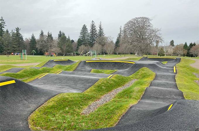
Nestled in the rolling woodland and moorland near Inverurie in Aberdeenshire, the Corrennie Mountain Biking Trails offer a hidden gem of Scotland’s north-east riding scene. This growing network of mountain bike routes is perfect for riders looking for a mix of flowing singletrack, technical features, and scenic forest tracks - all set within Corrennie Moor & Woodland and maintained with support from local volunteers and the Aberdeenshire Trail Association (ATA).
Top Trails in the Corrennie Network
Trails vary in length and difficulty, catering to both cross-country riders and those seeking more technical singletrack.
Here are some of the most popular and rideable sections you’ll want to explore:
Rusty Hatchet
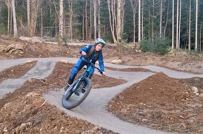
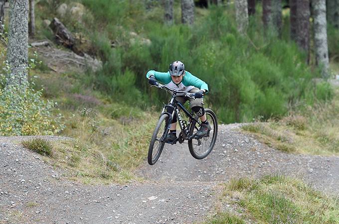
A frequently ridden singletrack trail with a mix of flowy and technical sections, ideal for experienced riders looking for fun terrain and natural features.
Secret in the Woods
A woodland-focused trail that rewards riders with a cool, shaded route and some sneaky turns - great for intermediate riders seeking variety.
Lynx Transition & Lynx Lynx
Compact yet engaging singletrack sections that offer smooth transitions and line choices through forest terrain - perfect for progressing skills.
Green Hill Woodland Singletrack
A scenic route through woodlands with natural trail features and a pleasant balance of technical and flowy sections.
Nearby Riding to Extend Your Adventure
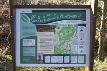
If you’re in the area and want more mountain biking options, check out other premier Aberdeenshire spots such as Pitfichie Forest near Alford - known for its more extensive downhill and cross-country trails - or explore longer gravel and mixed-terrain rides across Bennachie and beyond.

 E-Bikes Allowed