
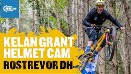
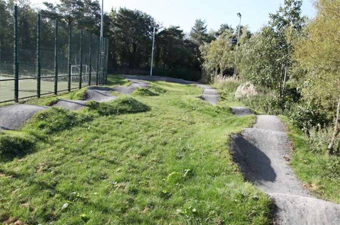
Rostrevor Mountain Bike Trails
Rostrevor Mountain Bike Trails offer some challenging mountain biking where efforts are rewarded with incredible views and exhilarating singletrack descents. Read more
place Rostrevor, BT34 3AA
place Rostrevor, BT34 3AA
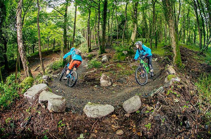
Rostrevor Mountain Bike Trails located on the shores of Carlingford Lough offer some challenging mountain biking where efforts are rewarded with incredible coastal views and exhilarating singletrack descents.
With a mouth watering 27km red trail and a hair raising 19km black trail Rostrevor is believed by many to be the top spot for mountain biking in Ireland. When you add not just one but two purpose-built downhill trails to the mix, there's no denying it… Rostrevor is a mountain bikers' haven!
The 27-kilometer red trail at Rostrevor Mountain Bike Trails provides a leg workout but more than compensates with scenic views. Located on the shores of Carlingford Lough, the Rostrevor Mountain Bike Trails offer challenging mountain biking where efforts are rewarded with stunning coastal views and thrilling single-track descents.
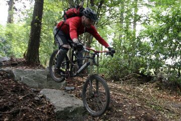
The Rostrevor Black Trail presents a more challenging experience for experienced mountain bikers. Deviating substantially from the red loop trail, the 19km of black trails will test riders' abilities further and provide an even more rewarding experience.
This black trail follows the same route as the red trail to the summits of Slievemartin and Slievebane before splitting off at Rostrevor Forest. From there, the trail navigates a technically demanding section of single track trail before connecting to the return route along Kilbroney Valley back to the starting point. This advanced route requires a high level of mountain biking skills and is best attempted by riders with considerable off-road cycling experience.
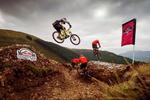
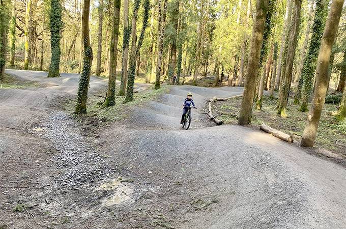
Mega Mission Trail is one of the fastest and most technical trails in the region. An uplift service is available to shuttle riders to the top of the southern slopes of Slievebane mountain, from which the Mega Mission Trail begins its descent.
Designed for maximum excitement, the Mega Mission Trail presents a challenging test of bike handling ability. Riders can expect to push their skills to the limit on this lightning-fast downhill route.
Riders can expect their adrenaline levels to be high from the very beginning of the On the Pulse trail. Featuring numerous rock drops and technically challenging bermed turns, On The Pulse also now benefits from the newly constructed section at the bottom of the trail.
If you’d like to use the Uplift provided by Bike Mourne, you can book it here.
Located approximately 46 miles from Belfast, 75 miles from Dublin, the Rostrevor Mountain Bike Trails can be found on the Shore Road between Rostrevor and Kilkeel.
The trailhead is only half a mile outside Rostrevor village; signposted Rostrevor Forest/Kilbroney Park.
Trailhead Postcode: BT34 3AA
 Toilets
 Bike Hire
 Bike Wash
 Showers
 Cafe
Cafe Uplift Service
 E-Bikes Allowed
| Nearest Town: | Rostrevor |
| Website: | www.mountainbikeni.com |
| Sat Nav: | BT34 3AA |
Want to view the location of this trail?
Login or Sign-up by clicking the button below.

Published: 16 May 2025
After months of gruelling work, the Rostrevor MTB Trails have reopened after storm damage from Storm Éowyn.
Published: 3 August 2017
Redbull Foxhunt has returned for it's 6th year and the registration date has been announced. Will you be one of the 400 taking on a world class rider?
Please note: Distance is calculated as air distance or "as the crow flies" the most direct route between two points, so the distance by road maybe slightly longer.


0.7 miles from venue
0.9 miles from venue
0.9 miles from venue
2.9 miles from venue
Disclaimer: All trails and location details have been submitted to this website by independent contributors and resources. We hold no personal responsibility for the accuracy or legality of any trail description or location published herein. All listings are for information only.
© More Dirt Ltd 2025. Company Number: 8034657. All content remains copyright of More Dirt Ltd unless stated otherwise...


