Share this page

Facebook Twitter LinkedIn Email

Sterling Forest Mountain Biking Trails

0 reviews

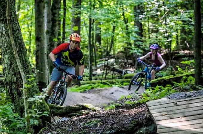
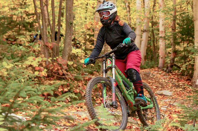
Sterling Forest contains 14 trails and 9 miles of multi-use trails suitable for mountain biking. The trails are challenging, and the setting offers a sense of isolation that can be hard to find these days. Read more


place Stowe, VT

link www.stowetrails.org


Open - All Clear

Videos

Share your videos of Sterling Forest Mountain Biking Trails

Add A Video

Photos

Share your photos of Sterling Forest Mountain Biking Trails

Add A Photo

Description

Sterling Forest contains 14 trails and 9 miles of multi-use trails suitable for mountain biking. The trails are challenging, and the setting offers a sense of isolation that can be hard to find these days.

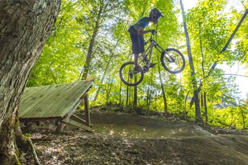
The latest addition to the Sterling trail pod is Callagy’s Trail. Callagy’s is a technical, hand-built trail that’s as challenging as it is fun. Built-in 2017 in honour of Callagy Ross, this trail is the product of over 400 hours of volunteer time, and several generous donations. Callagy’s is also part of our plan to increase connectivity and add cohesion to each trail pod; using Callagy’s riders can now add mileage and connect to Split Rock without having to ride the road.

The 1,500-acre forest parcel, formerly owned by IBM Chairman, Thomas Watson, was part of a larger 2,150-acre parcel known locally as “Watson Forest”, and acquired by the Town of Stowe in 1995. The balance of the 650 acres located on the ridgeline is owned by the State of Vermont.

The largest parking area for Sterling Forest is located at the end of Sterling Valley Road.

Facilities

  • Parking Parking

Location

Nearest Town: Stowe
Website: www.stowetrails.org
Sat Nav: VT

Want to view the location of this trail?
Login or Sign-up by clicking the button below.

Register Sign In

Trail Leaderboard

Trail Assocciation

Stowe Trails Partnership

Please consider joining the local riding association to support trail development & maintenance.

Nearby Trails

Please note: Distance is calculated as air distance or "as the crow flies" the most direct route between two points, so the distance by road maybe slightly longer.

Nearby Accommodation

Submitted by:
Last modified: 2020-11-08 08:48:06

Disclaimer: All trails and location details have been submitted to this website by independent contributors and resources. We hold no personal responsibility for the accuracy or legality of any trail description or location published herein. All listings are for information only.