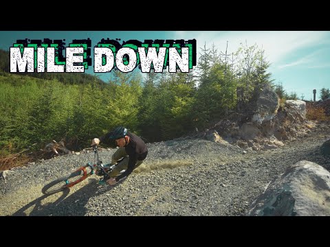
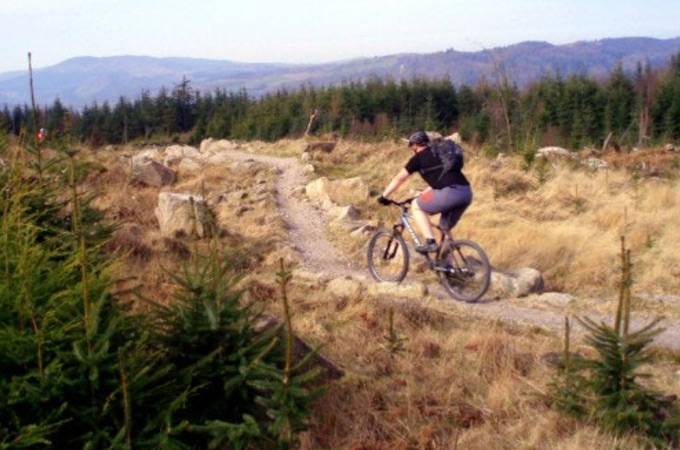
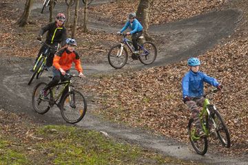
Kielder Mountain Bike Trails
Kielder is home to over one hundred miles of legendary mountain bike cross country trails in Northumberland just south of the Scottish border! Read more
place Kielder, NE48 1ER
place Kielder, NE48 1ER
 Toilets
 Bike Hire
 Bike Wash
 Cafe
Cafe Visitor Centre
 E-Bikes Allowed

Published: 6 May 2025
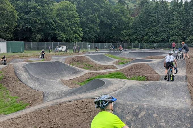
Forestry England is thrilled to announce the grand opening of newly developed mountain bike trails on Deadwater Fell in Kielder Forest.

Published: 6 November 2024
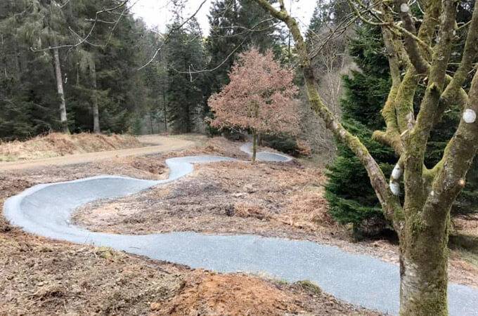
Forestry England has been hard at work restoring the Lonesome Pine Trail at Kielder Forest.
Have you ridden Kielder Mountain Bike Trails? Leave a review, upload photos and help other riders plan their visit.

Please note: Distance is calculated as air distance or "as the crow flies" the most direct route between two points, so the distance by road maybe slightly longer.


1 miles from venue
10.6 miles from venue
10.6 miles from venue
16.2 miles from venue
16.3 miles from venue
Disclaimer: All trails and location details have been submitted to this website by independent contributors and resources. We hold no personal responsibility for the accuracy or legality of any trail description or location published herein. All listings are for information only.
© More Dirt Ltd 2026. Company Number: 8034657. All content remains copyright of More Dirt Ltd unless stated otherwise...