Penmachno Mountain Bike Trails, located in Snowdonia National Park in North Wales, offer 30km of challenging single-track. This hidden gem features steady climbs and spectacular scenery throughout Eryri National Park. Located just outside the town of Betws-y-Coed, these trails are in close proximity to the affiliated Gwydir Mawr trail network.
The trail can be ridden as one 30km route or as a 19km loop (Loop 1), or a 11km loop (Loop 2). Loop 2 branches off from Loop 1 at around the halfway point so, if you're not certain which one to ride start on Loop 1 and see how you feel when you get to the Loop 2 junction!
Penmachno MTB trails
Dolen Machno (Loop 1 - 19km)
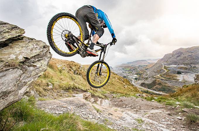
This has the fastest descents and biggest climbs, with fast, technical single-track, tight switch-backs and a couple of leg-testing climbs. The fun just never stops!
Dolen Eryri (Loop 2 - 11km)
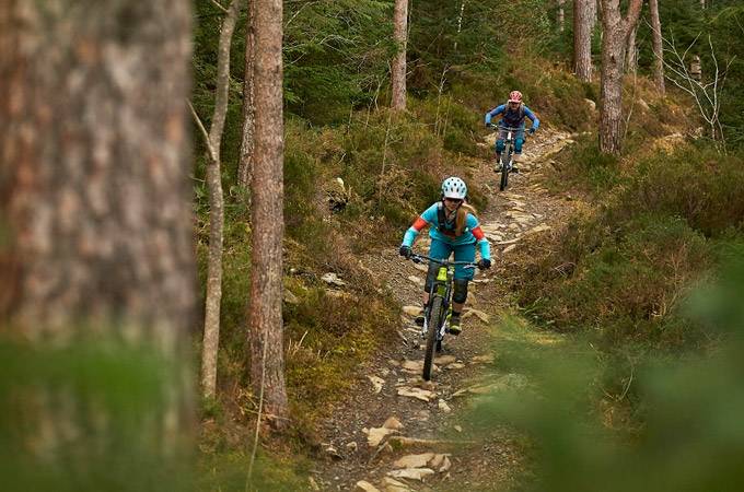
This is all about the flow and the views, with a great mix of sweeping single-track, carving boardwalk, technical pitched stone trail and some of the best views you'll find in the UK. A truly breath-taking ride.
Penmachno Trail (combined Loop 1 & Loop 2 - 30km)
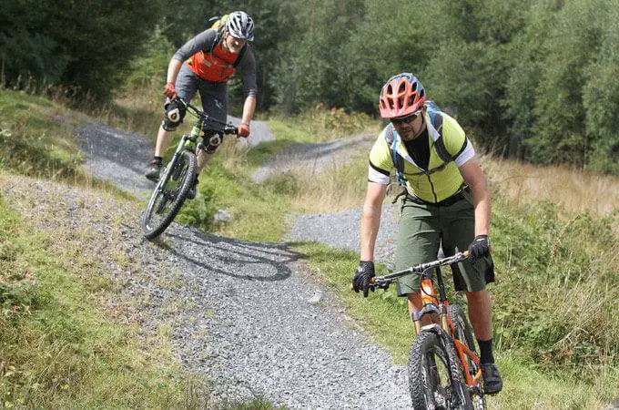
This has got it all - 30km of fast descents, flowing singletrack, technical riding & boardwalk plus views across the Snowdonia mountains.
How to get here
To get to the trailhead along the A5 and take the B4406 to Penmachno. Drive into the village, over the bridge and bear left past The Eagles pub. Once past the pub carry on for about half a mile - the trailhead is on the right (large forest track).
GR: SH 786 498
Postcode: LL24 0YP (this is the nearest postcode, however, it won't take you to the trailhead, so please follow the directions above once you get into the village!)
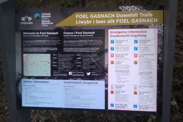
Amenities
The Penmachno Trail features remote, exposed sections that become difficult in bad weather. Bring necessary spares, clothing, fluids, and food. A Londis shop in the village offers some biking supplies. Public toilets are available for a small contactless payment fee.
Penmachno MTB Trail Map
You can download the Penmachno Trails Map here


 E-Bikes Allowed