
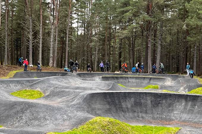
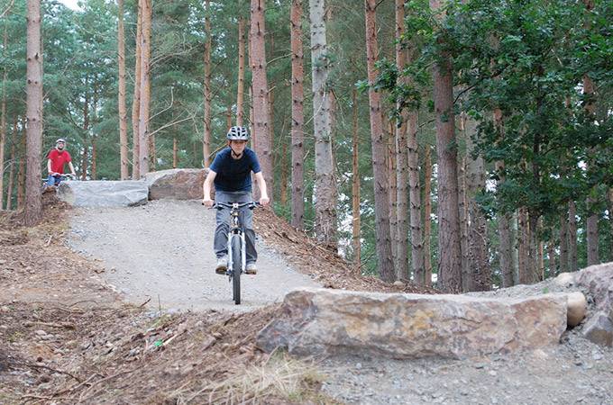
Glenlivet Mountain Bike Trails
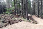
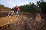
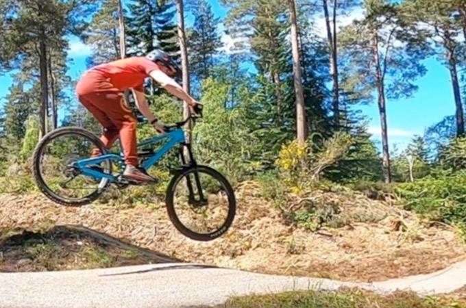
The Glenlivet trail centre located near Aviemore in Scotland is home to fantastic cross country mountain bike routes and trails across a range of difficulties. Read more
place Glenlivet, AB37 9EX
place Glenlivet, AB37 9EX
 Toilets
 Bike Hire
 Bike Wash
 Cafe
Cafe Shop
Shop Visitor Centre
 E-Bikes Allowed


"Well Built but Lacking Some Fundamental Fun Factor"
Review by: NoManNoRiver
on 18 September 2017
Published: 13 June 2018
Work has started on some new mountain bike trails and skills area on the Glenlivet Estate in Moray, north west Scotland
Published: 20 September 2017
The mountain biking trails on the Glenlivet Estate will close over winter to allow felling of infected trees and are expected to re-open in time for Easter 2018

Published: 23 June 2016
Watch the official highlights from round three of the 2016 Scottish Enduro Series which delivered the sunshine, great trails, a stacked line up and enough gnar to keep everyone happy.
Have you ridden Glenlivet Mountain Bike Trails? Leave a review, upload photos and help other riders plan their visit.


Please note: Distance is calculated as air distance or "as the crow flies" the most direct route between two points, so the distance by road maybe slightly longer.


1.8 miles from venue
42.8 miles from venue
Disclaimer: All trails and location details have been submitted to this website by independent contributors and resources. We hold no personal responsibility for the accuracy or legality of any trail description or location published herein. All listings are for information only.
© More Dirt Ltd 2026. Company Number: 8034657. All content remains copyright of More Dirt Ltd unless stated otherwise...


