place Lochgilphead, PA31 8RE
Share your videos of 
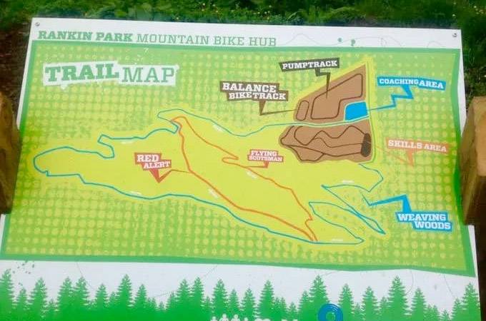
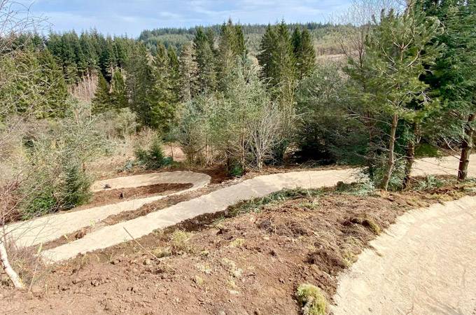
Fire Tower Mountain Bike Trails
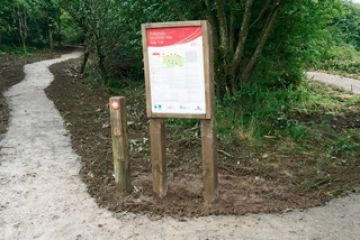
"Good fun but a bit long between the sections"
Review by: oldlairdie
on 22 May 2016
The Fire Tower Trail Mountain Bike Trail is a 14km trail by Lochgilphead in West Argyll, Scotland. The trail offers a mix of red and black sections. These narrow, flowing singletracks feature rocks, berms, jumps, and drops. While the descents are challenging, they provide rewarding downhill experiences.
From the site of an old fire tower, this trail has it all: flowing single track, technical features, stunning views, and all within minutes of Lochgilphead. Five sections of single track, linked by forest road. Jink through the trees, burn rubber on the Twisted Fire Starter, swing down Berm Burner, cool off in the Water Splash, then Rock and Roll back to the car park.
Please note, this trail features water fording. The Twisted Fire Starter section also has black graded sections that are optional - they can be by-passed to continue the red graded route.
Achnabreac and Kilmichael Forest offer a range of cycling experiences suitable for everyone. The towpath beside the Crinan Canal, part of the National Cycle Route 78, is perfect for families looking for a gentle, scenic ride. There are also plenty of forest roads criss-crossing the woodland that you can explore at your leisure.
Lochgilphead lies on the A83 Tarbet - Campbeltown road and at the south end of the A816 to Oban. Achnabreac car park Turn east off the A816 approximately 3km north of Lochgilphead, directly opposite the turning to Cairnbaan. Follow the forest road for 900m to the car park. Kilmichael Glassary Approximately 6km north of Lochgilphead, turn east off the A816 through the village of Bridgend. Follow the signs to car parking in Kilmichael Glassary.
E-Bikes Allowed| Nearest Town: | Lochgilphead |
| Website: | forestryandland.gov.scot |
| Sat Nav: | PA31 8RE |
Want to view the location of this trail?
Login or Sign-up by clicking the button below.
Please note: Distance is calculated as air distance or "as the crow flies" the most direct route between two points, so the distance by road maybe slightly longer.
Disclaimer: All trails and location details have been submitted to this website by independent contributors and resources. We hold no personal responsibility for the accuracy or legality of any trail description or location published herein. All listings are for information only.