Videos
Share your videos of Tsali Recreation Area
Description
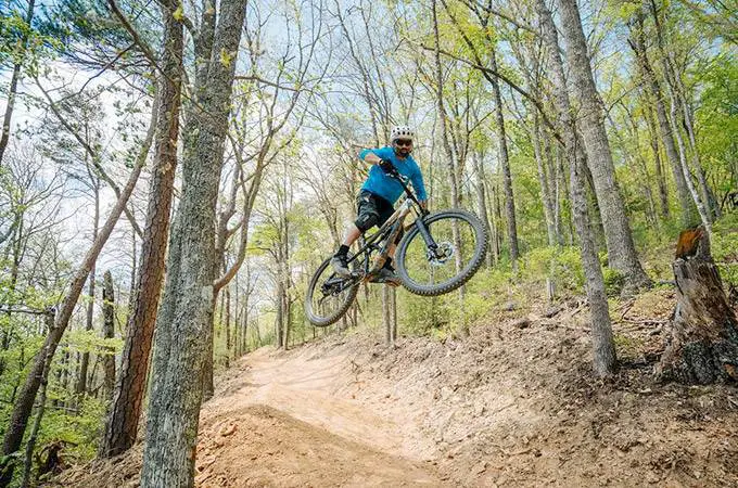
The Tsali Recreation Area has long been considered a top destination for XC mountain biking in Western North Carolina, and even the entire eastern USA.
Containing nearly 40 miles of trails in a system with four excellent loops, it has been rated as one of the top 10 places to ride in the USA. The area is located on a hilly peninsula reaching into beautiful Fontana Lake, at the base of the Great Smoky Mountains.
The four long main trails at Tsali wind along the lake shore and onto the wooded, steep interior ridges. There are several connector trails, gravel roads and extension trails that give a few more options for rides besides the main loops. Three designated overlooks along the trails provide sweeping views of Fontana Lake with the Great Smoky Mountains National Park on the other side.
The trails are fast, hardpacked singletrack, and they're extremely well designed and well used. Trails alternate use between mountain bikers and horseback riders on different days; two will always be open to mountain biking. There is a $2.00 trail use fee for one day.
Tsali's jumping off point is the end of FS 1286, where the trailhead, campground, and boat launch are located. See below for directions to the trailhead.
Facilities
Location
| Nearest Town: | Bryson City |
| Website: | www.mtbikewnc.com |
Want to view the location of this trail?
Login or Sign-up by clicking the button below.
Trail Leaderboard
Nearby Trails
Vee Hollow Mountain Bike Trails
(11.5 miles)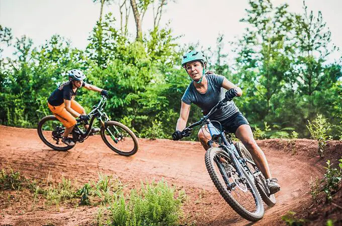
Baker Creek Preserve Mountain Biking Trails
(24.4 miles)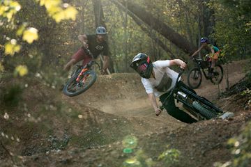
Windrock Mountain Bike Trails
(38.2 miles)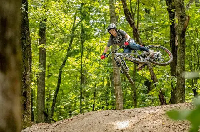
Kanuga Bike Park
(38.4 miles)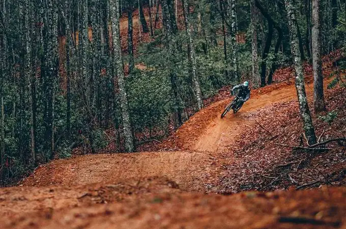
Ride Rock Creek Bike Park
(39.0 miles)Please note: Distance is calculated as air distance or "as the crow flies" the most direct route between two points, so the distance by road maybe slightly longer.
Nearby Accommodation
Last modified: 2012-10-24 12:32:40
Disclaimer: All trails and location details have been submitted to this website by independent contributors and resources. We hold no personal responsibility for the accuracy or legality of any trail description or location published herein. All listings are for information only.