Videos
Share your videos of Silverlink to Hollywell Dene coastal Loop

Trail Reviews Summary

Description
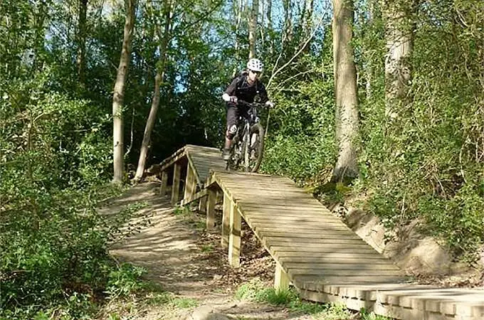
This is a trail I put together and consists of tarmac cycle path, pavement/road, farm track, bridle ways and twisty (narrow at times) trail. There are a couple of steep sections and an unofficial dirt jump area to keep those of you looking for excitement interested. There are no difficult technical sections and no long steep climbs so it's perfect for intermediate riders although there are one or two obstacles you'll have to lift your bike over so be warned.
This route is not marked so if you don't know the area you'll need a map to keep you right. You'll start at the south east corner of the Silverlink Retail Park in Wallsend, Tyne and Wear. From there you get onto the cycle path on the coast road and head all the way to the coast. Ride on the roads if you like or stay o the paths if you'd rather. At the coast take a left at the Park Hotel and follow the coast north to St Mary's Light House and on to the pub at Old Hartley on the round about. From there head to Hollywell Dene the entrance to which is over the cattle grid which is right off Hartley Lane. Go through the large gate and follow the twists and turns through the dene but watch out for walkers. Half way through the dene you'll cross a bridleway. Get down the other side and you'll find some jumps and stuff made by the locals. When you're finished there follow the dene to Holywell where you can follow the bridleways and wagonways along the path of the old railway line and back to your start point.
This route takes in some great scenery, the beautiful coast, and the dene is great fun. It's pretty flat too so it won't kill you if you're not that used to prolonged exercise. Bad points are you have to cross roads here and there, and the route is unofficial so there are no posts to follow. Have fun an make sure you write a quick review.
Facilities
Location


Nearby Trails
Chopwell Woods Mountain Bike Trails
(8.3 miles)
Chopwell Park Pumptrack
(8.8 miles)
Edmundbyers and Blanchland Loop.
(13.9 miles)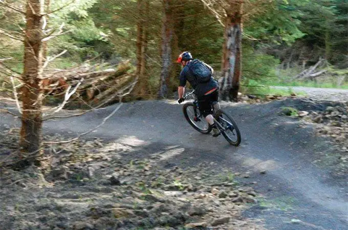
Hamsterley Forest Mountain Bike Trail Centre
(16.6 miles)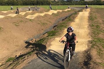
Alnwick Pump Track
(17.9 miles)Please note: Distance is calculated as air distance or "as the crow flies" the most direct route between two points, so the distance by road maybe slightly longer.
Nearby Accommodation


Park Head Hotel
26 miles from venue
Roslyn Cottage
32.4 miles from venue
Blackburn Cottage Barn
34.7 miles from venue
The Coach House
37.4 miles from venue
Wren's Nest Holiday Cottage
44.7 miles from venue
Last modified: 2018-06-05 20:48:46
Disclaimer: All trails and location details have been submitted to this website by independent contributors and resources. We hold no personal responsibility for the accuracy or legality of any trail description or location published herein. All listings are for information only.